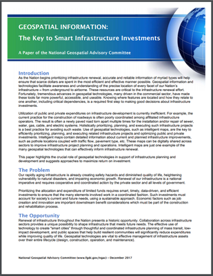
 The National Geospatial Advisory Committee (NGAC) has adopted a paper highlighting the critical role geospatial tools and information can play in supporting national infrastructure development initiatives. The paper, “Geospatial Information: The Key to Smart Infrastructure Investments,” focuses on the unique ability of geospatial technology to enable smart infrastructure decisions and investments, and describes how geospatial tools can be used to plan, manage, and communicate the results of national infrastructure development initiatives.
The paper notes that all levels of government and private entities have a role to play in using geospatial technologies to enhance the efficiency of infrastructure renewal. The NGAC recommends that the Federal government’s role should include:
- Supporting foundational data such as remotely sensed imagery, address data, and other National Geospatial Data Assets.
- Promoting data sharing standards to reduce duplicated effort and enhance data sharing.
- Utilizing geospatial data and tools, including the GeoPlatform (www.geoplatform.gov), to plan, manage, track, and communicate the results of a national infrastructure initiative.
- Ensuring that infrastructure grant funds may be applied to geospatial data, systems, and services. Such investments are as important as investments in steel and concrete, but with a far greater return.
- Modernizing governance of geospatial data and programs nationally to reduce duplication and capture increased efficiencies.
The NGAC is a Federal Advisory Committee that provides advice and recommendation on national geospatial policy issues to the member agencies of the Federal Geographic Data Committee. The NGAC includes members from all levels of government, the private sector, non-profits, and academia. Additional information about the NGAC is available at: www.fgdc.gov/ngac.

