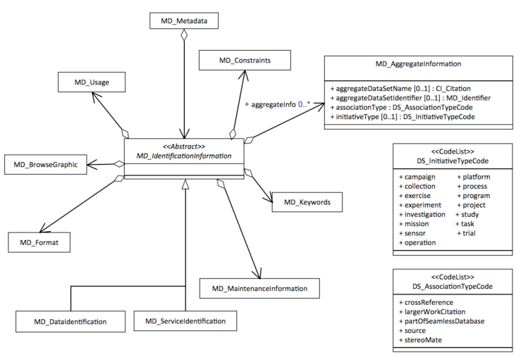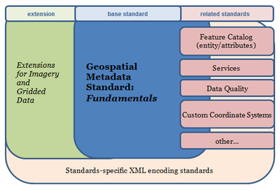
In 1999 the International Organization for Standardization (ISO) Technical Committee (TC) 211 Geographic Information / Geomatics was tasked to harmonize the FGDC Content Standard for Digital Geospatial Metadata (CSDGM) with other formal and defacto standards that support the documentation of geospatial data and services. The resultant ISO 19115: Geographic information - Metadata standard was finalized in 2003 and endorsed by the FGDC in 2010. A series of additional ISO 191** standards have been developed to update, extend, and supplement the 19115 standard.
Publications of the ISO Geospatial Metadata Standard

Technical and Formal Publications
ISO standards must be purchased. The American National Standards Institute (ANSI) serves as the US member agency to ISO and provides easier access to the standards and, generally, at a lower cost.
- ANSI eStandards Store - Search for an ‘INCITS/ISO’ version of the standard to get the best price, e.g. ‘INCITS/ISO 19115-1’ $133 (pdf) as of August 2015
- ISO Store
Supporting Publications and Representations
- ISO/TC 211 Harmonized Model Web Server - Access to UML diagrams for ISO/TC 211 standard
- NOAA-NCEI Metadata - ISO 19115:2003 Geographic Information - Metadata Workbook (2.5 MB) - Guide to Implementing ISO 19115:2003(E), the North American Profile (NAP), and ISO 19110 Feature Catalogue.
- NOAA-NCEI Metadata - ISO 19115:2003 Geographic Information - Metadata - Biological Extensions Workbook (2.75 MB) - Guide to Implementing ISO 19115:2003(E), the North American Profile (NAP), and ISO 19110 Feature Catalogue with Biological Extensions.
- NOAA-NCEI Metadata - ISO 19115-2:2009 Geographic Information - Metadata - Part 2: Extensions for imagery and gridded data Workbook (2.99 MB)- Guide to Implementing ISO 19115-2:2009(E), the North American Profile (NAP), and ISO 19110 Feature Catalogue.
ISO Geospatial Metadata Learning Resources and Guidance Documents
FGDC Presentations
- The 411 on 19115 (URISA 2015)
- FGDC ISO Geospatial Metadata Implementation Forum and Presentations
- FGDC ISO Geospatial Metadata Implementation Webinar and Presentations (2013)
- FGDC Metadata Summit and Presentations (2011)
Guidance Documents and Online Resources
ISO Metadata Training Programs
ISO Geospatial Metadata Tools
Metadata Creation
- ISO Geospatial Metadata Editors Registry - A summary of available ISO Geospatial Metadata Applications and User Reviews


